About Manning Point
Manning Point is a small village at the mouth of the Manning River in New South Wales. It lies on Mitchells Island, opposite the town of Harrington, 33 km east of Taree. It was previously known as Brighton.
Besides holiday rental units, it has been listed with a general store, a bowling club, two caravan parks, a cafe and a bait shop. The general store has also served as newsagent, post office and takeaway, so check what is open before you drive out.
Where is Manning Point?
Manning Point is in the MidCoast Council area on the Mid North Coast of New South Wales.
Nearby towns with hubs on OurHub, with straight-line distances: Harrington (4 km north-east), Coopernook (9 km north-west), Crowdy Head (10 km north-east), Old Bar (11 km south-west).
What the Manning Point directory lists
For health: HealthHub, Village Pharmacy. Parks, beaches and recreation: Captain Cook Bicentennial Park, Esmond Hogan Park.
Schools and learning: Mitchell's Island Public School.
Get in touch
A question, something out of date, a group to link, or the keys to this hub: send it here and someone at OurHub will get back to you.
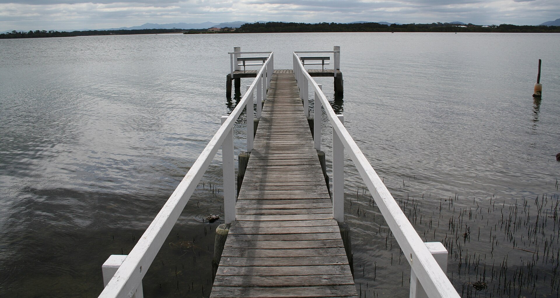
Photo: “Manning Point Wharf - panoramio” by Rob Freijs (CC BY-SA 3.0), via Wikimedia Commons. Town facts: Wikipedia (CC BY-SA 4.0), which cites the Australian Bureau of Statistics census. Straight-line distances are worked out from the hub’s coordinates. Directory locations © OpenStreetMap contributors (ODbL).